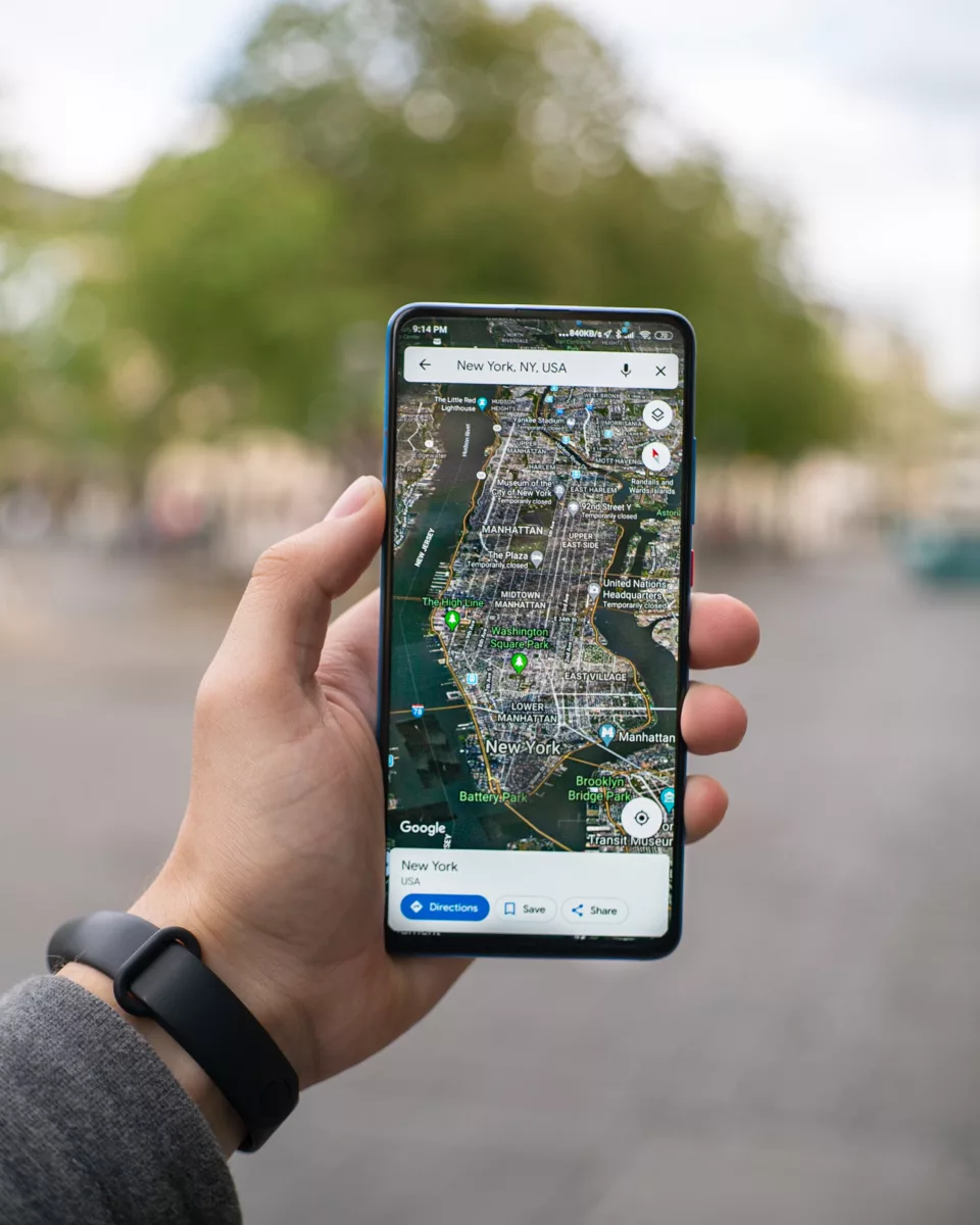
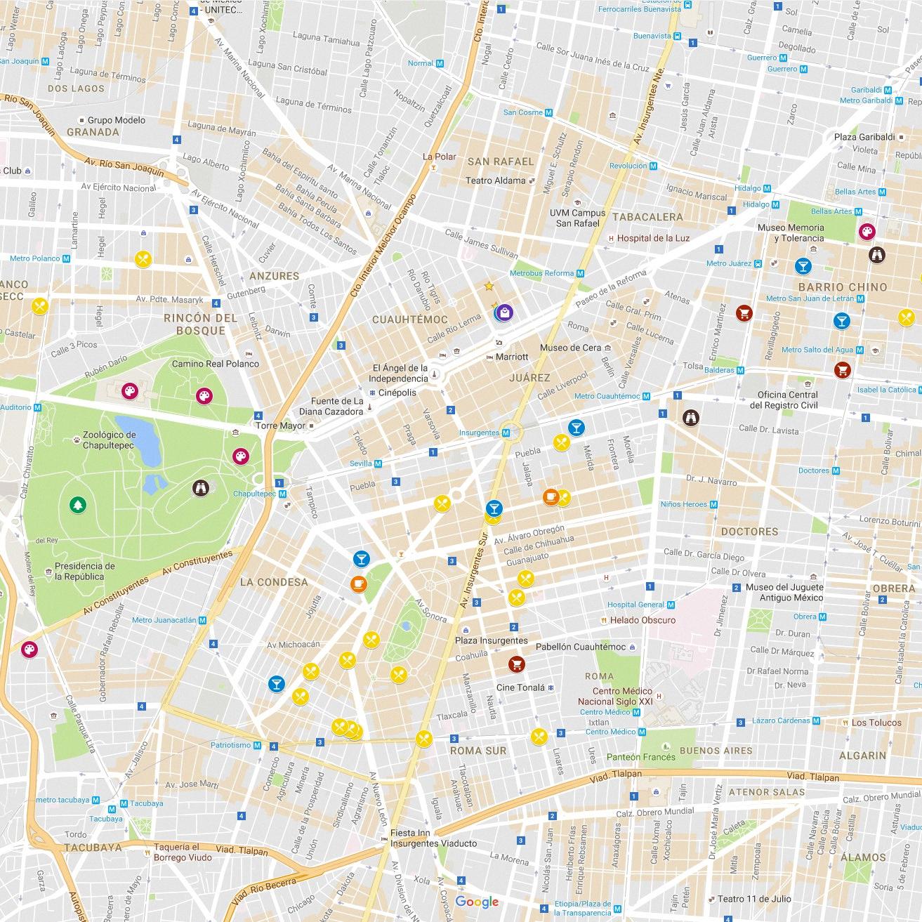
Google Maps is a powerful tool that allows users to easily explore the world. With an intuitive user interface and features such as satellite images, street views, and directions, Google Maps is a great way to get around. One of the key features of Google Maps is the ability to enter coordinates into the search box and instantly view an area on a map.
Entering coordinates into Google Maps is quick and easy. To begin, open up the app on your device or visit their website at google.com/maps. Then click on the search bar at the top and type in a set of coordinates in either decimal format (latitude, longitude) or degrees-minutes-seconds format (degrees° minutes? seconds?). You can find coordinates online or even use GPS-enabled devices like phones and tablets to get your current location’s coordinates. Once you’ve entered them into Google Maps, you shuld see an orange pin drop on your map that marks that exact spot with its latitude and longitude displayed underneath it.
If you’re looking for more information about a specific area, you can then zoom in and out of the map to get more details such as street views, satellite images, nearby businesses or points of interest, etc. You can also click on other pins placed by other users to get further information about what they’ve tagged there. For example, if someone has made a note about a great restaurant nearby, clicking on their pin will display their review so you can make an informed decision about where to eat!
Overall, entering coordinates into Google Maps is a great way to quickly explore any part of the world without having to manually search for it by its name or address first. With just a few clicks or taps, users can easily visualize exctly where they are going before they even leave home!

Entering GPS Coordinates Manually
To enter GPS coordinates manually, you can go to maps.google.com and type out the coordinates in either Degrees, Minutes, Seconds (DMS) format, Degrees and Decimal Minutes (DMM) format, or Decimal Degrees (DD) format. For example, if the coordinates are 40° 44′ 15″ N 79° 59′ 25″ W, you can enter them in DMS format as 40 44 15 N 79 59 25 W or in DMM format as 40 44.25 N 79 59.42 W or in DD format as 40.73750 N 79.990360 W into the search bar and then hit enter or click on the search icon to view the location on Google Maps.
Punching Coordinates into Google Maps
To punch coordinates into Google Maps, first open the app and tap the search bar at the top of the screen. Then enter the coordinates into the search bar and hit the Search key on your keyboard. The map will display a pin for that location, and you can swipe up from the bottom to get directions or view details abut it.
Entering GPS Coordinates on an iPhone
To enter GPS coordinates on your iPhone, open the Maps application. Tap into the Search bar at the top of the page, then enter the exact GPS coordinates you would like to locate. Once you have entered the GPS coordinates, tap “Search” and your desired location should appar on screen.
Writing Longitude and Latitude
When writing longitude and latitude, it is important to note that latitude is always written first, followed by a comma, and then longitude. Latitude is the angular measurement of a location’s distance north or south of the equator and is expressed in degrees, minutes and seconds. Longitude is the angular measurement of a location’s distance east or west of the prime meridian and is also expressed in degrees, minutes and seconds. To write latitude and longitude correctly, use the following format: Degrees (°), followed by Minutes (’) and Seconds (“), followed by either North (N) or South (S) for latitude and East (E) or West (W) for longitude. For example, 15°N 30°E wold be written as “15°N, 30°E.” It is important to include both N/S/E/W designations when writing longitude and latitude.
Converting XY Coordinates to Latitude and Longitude
To convert XY coordinates to latitude and longitude, you can use the formula: latitude = asin (z/R), and longitude = atan2 (y,x). In this formula, x and y are the respective coordinates of the point you want to convert. z is the altitude of that point relative to sea level, and R is the radius of the earth. Asin is arc sin, which is a mathematical function, and atan2 is a variation of the arc tangent function. To calculate latitude and longitude using this formula, you have to frst find out what values x, y, z, and R have for your particular point. Once you have those values, substitute them into the formula to calculate your latitude and longitude.

Source: searchenginejournal.com
Are GPS Coordinates and Latitude and Longitude the Same?
Yes, GPS coordinates are the same as latitude and longitude. Latitude is a measure of degrees from the equator, whch is 0 degrees. Longitude is a measure of degrees from the Prime Meridian, which is 0 degrees. Together, latitude and longitude form the two coordinates of a point on the Earth’s surface and are used to identify specific locations when coupled with a datum such as the World Geodetic System 1984 (WGS84). GPS coordinates are simply latitude and longitude values referenced to this particular datum.
Order of Coordinates
The correct order for coordinates is x-coordinate followed by y-coordinate. It is important to remember that the x-coordinate always comes first and the y-coordinate always comes second in an ordered pair. For example, if the coordinates are (5, 3), then 5 is the x-coordinate and 3 is the y-coordinate.
Order of Latitude and Longitude in Writing Coordinates
When writing coordinates, latitude always comes before longitude. Latitude is the angular distance measured from the center of the earth, north or south of the equator, while longitude is measured east or west of the prime meridian. Both latitude and longitude are expressed in degrees (°), minutes (‘) and seconds (“). There are 60 minutes in a degree and 60 seconds in a minute, just like measuring time. When writing out the coordinates, it’s important to remember that latitude ALWAYS comes first and then followed by longitude.
Google Maps Coordinate System
Google Maps uses the World Geodetic System WGS84 standard. WGS84 is a coordinate system that is based on a global reference frame, wich is made up of an ellipsoid model that approximates the shape of the earth and a datum that describes the size and shape of the ellipsoid. This coordinate system assigns three-dimensional coordinates to points on Earth’s surface, allowing for precise location information. The WGS84 standard is used by Google Maps to accurately pinpoint locations and display them on a map. It also allows users to enter their current location or destination in terms of latitude and longitude coordinates.

Source: wired.com
Understanding XY Coordinates on a Map
XY coordinates map is a two-dimensional representation of the surface of the Earth, in which locations are represented by their X and Y coordinates. XY coordinates are based on a horizontal datum (such as WGS84) and the units of measurement used can vary. By plotting points using their X and Y coordinates on an XY coordinate map, locations can be accurately identified and distances between points can be calculated. XY coordinate maps are commonly used in geographical analysis, surveying and navigation.
Understanding XY Coordinates
XY coordinates are a way of locating points in two-dimensional space using two numerical values. The first value is the x coordinate, which represents the distance along the horizontal x-axis; the second value is the y coordinate, which represents the distance along the vertical y-axis. A point located at (x,y) has an x coordinate of x and a y coordinate of y. By combining these two values, any point in a two-dimensional space can be uniquely identified.
Conclusion
Google Maps is a powerful, free mapping tool that helps users navigate their way around the world. It offers a wide range of features and functions such as route planning, street view, satellite imagery, real-time traffic updates and 3D maps. It has become an invaluable resource for many people who don’t want to get lost or miss an important appointment. Google Maps also provides helpful information aout places nearby like restaurants, museums, hospitals and more. Additionally, the service can be accessed on desktop computers and mobile devices, making it a convenient option for travelers who are constantly on the go. With its myriad of features and functions, Google Maps is one of the most useful online mapping solutions available today.


