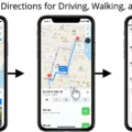
Apple Maps is a widely used navigation app developed by Apple Inc. It provides users with a variety of features and functionalities to make their travel experience more convenient and efficient. One of the questions that often comes up is whether Apple Maps shows police sightings or not. In this article, we will explore this topic in detail.
When it comes to displaying police sightings, Apple Maps does not have a dedicated feature or functionality to show this information in real-time. Unlike some other navigation apps like Waze, which heavily rely on crowd-sourced data, Apple Maps primarily relies on its own data sources for providing directions and mapping information.
While Apple Maps does not have a specific feature to report or display police sightings, it does provide users with valuable information about traffic conditions. This can indirectly help users become aware of police presence in certain areas. Apple Maps uses real-time traffic data to show congestion, accidents, and road closures. In some cases, police presence might be indicated if it is causing traffic congestion or delays.
It is worth mentioning that Apple Maps continuously improves and updates its features and functionalities. Therefore, it is possible that in future updates, Apple may introduce features or partnerships that allow users to report and view police sightings directly on the app.
In the meantime, if you are looking for a navigation app that specifically focuses on crowd-sourced data and real-time reporting of police sightings, Waze is a popular choice. Waze allows users to report accidents, traffic, and police sightings in real-time, making it a valuable tool for those who want up-to-date information on their routes.
Apple Maps does not currently have a feature to show police sightings directly. However, it does provide users with real-time traffic information that could indirectly help them become aware of police presence in certain areas. If you are specifically interested in real-time reporting of police sightings, apps like Waze might be a better choice.
How Do You Mark Police On Apple Maps?
To mark police on Apple Maps, follow these steps:
1. Open Apple Maps on your device.
2. Locate the search field at the top of the screen and tap on your image/icon next to it.
3. A menu will appear, and from there, select “Reports.”
4. In the Reports menu, you will find various options. Choose the option that says “Report Street Issue” or “Report Place Issue,” depending on the issue you want to report.
5. Once you select the relevant option, a form will appear where you can enter your information. Fill in the required details as accurately as possible.
6. Before submitting the report, make sure to review and agree to any terms or conditions that may be presented to you.
7. Add the specific information related to the police marking, such as the location, type of police presence, or any additional details you feel are necessary.
8. After providing all the required information, click on the “Send” button to submit your report.
Remember to be mindful and accurate while marking police on Apple Maps. This information can be helpful for others, so ensure you provide reliable and up-to-date details.
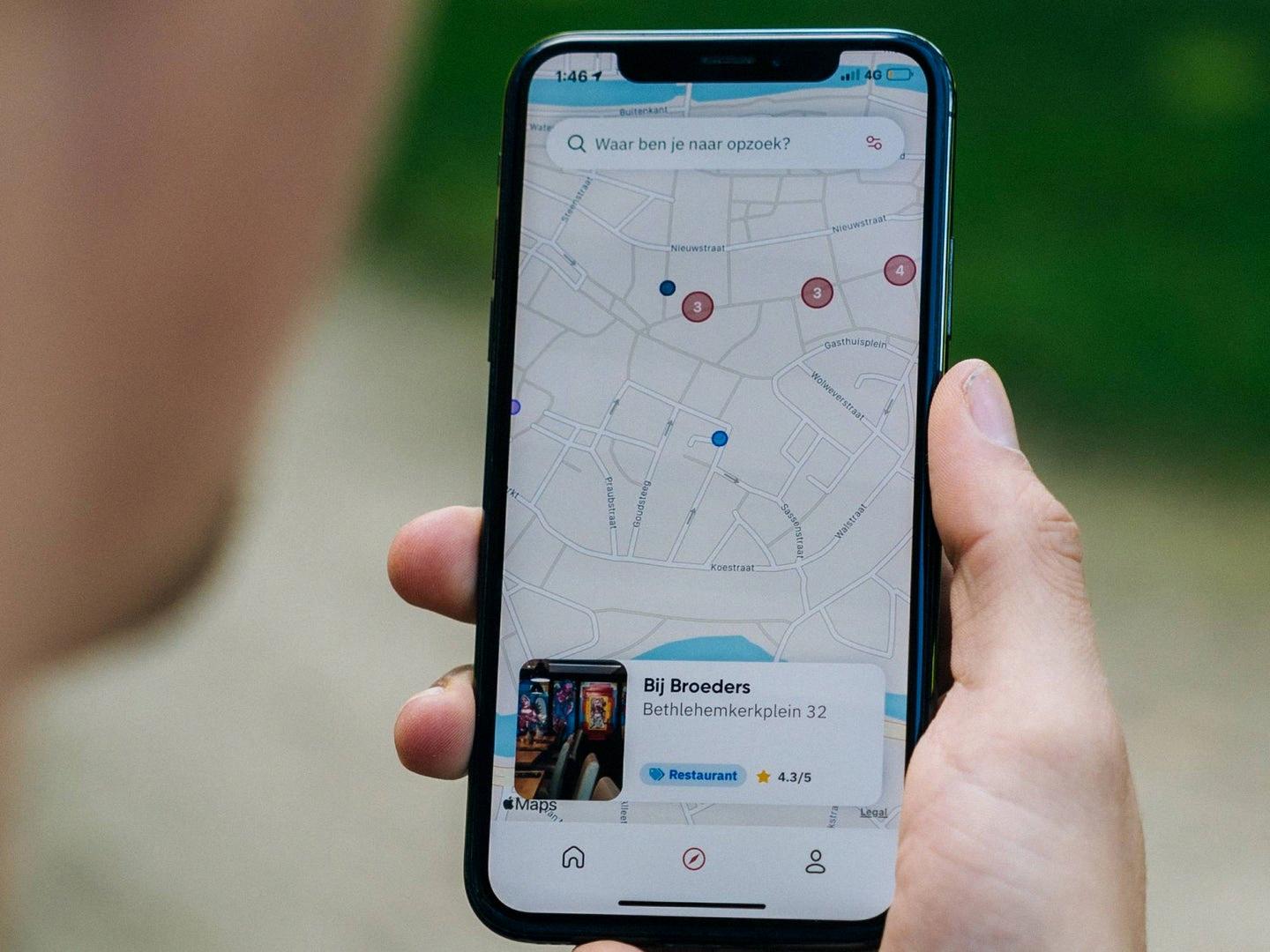
Does Apple Map Show Speed Cameras?
Apple Maps does show speed cameras on its driving map view. This feature provides users with valuable information about nearby speed cameras in real-time. By displaying the location of speed cameras on the map, Apple Maps helps drivers stay aware of their surroundings and maintain a safe driving speed to avoid any potential violations or fines.
The driving map view in Apple Maps offers a range of information to assist drivers. In addition to speed cameras, it also provides real-time estimates of arrival times (ETAs), traffic conditions, and speed limits. This comprehensive view allows users to have a better understanding of their route and make informed decisions while driving.
By displaying the location of speed cameras, Apple Maps helps drivers stay compliant with local traffic laws and regulations. This feature is particularly useful for individuals who are unfamiliar with a certain area or are traveling to a new location.
Furthermore, Apple Maps presents this information in an easy-to-view format, allowing users to quickly glance at their maps without causing any distractions while driving. The inclusion of speed cameras in Apple Maps aims to enhance road safety and promote responsible driving practices.
Apple Maps provides a convenient and reliable driving experience by showing speed cameras on its map view. This feature, along with real-time ETAs, traffic updates, and speed limit information, assists drivers in making informed decisions and staying safe on the road.
Is Waze Or Apple Maps Better For Cops?
When it comes to determining which navigation app is better for avoiding police encounters, Waze is generally considered to be more effective than Apple Maps. This is because Waze has a strong focus on crowdsourced data, which includes user-generated reports of police sightings in real-time.
Waze provides a platform for its users to report various incidents such as accidents, traffic congestion, and police presence. These reports are then shared with other Waze users, allowing them to be aware of potential law enforcement activity along their route. This real-time information can help drivers make more informed decisions and potentially avoid speed traps or areas with a heavy police presence.
On the other hand, Apple Maps relies more on its own data sources and does not have a dedicated feature for reporting police sightings. While Apple Maps does provide information about law enforcement agencies and their locations, this information is not updated in real-time by users.
If your primary concern is avoiding encounters with law enforcement while navigating, Waze is generally considered to be a better option than Apple Maps due to its real-time crowdsourced data and ability to report police sightings.
Conclusion
Apple Maps offers a comprehensive and user-friendly navigation experience for its users. With features like real-time ETAs, traffic updates, speed limits, and nearby speed cameras, it provides valuable information to make driving easier and safer. While it may not rely as heavily on crowdsourced data like Waze, Apple Maps still provides accurate and reliable information sourced from its own data sources. However, it does lack the ability to report accidents, traffic, and police sightings in real-time, which is a feature that Waze offers. Apple Maps is a reliable and efficient navigation tool that can assist users in reaching their destinations smoothly.

